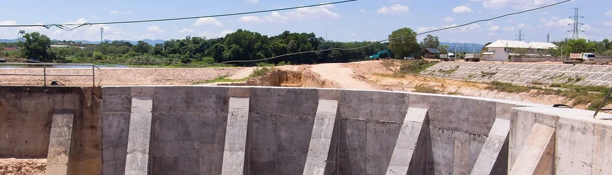
On a Rotorua excavation site, you’ll see inclinometers anchored into soft pumice, load cells welded against steel struts, and piezometers lowered into boreholes that hiss with vapour. These aren’t generic instruments. They’re selected because Rotorua’s ground moves in ways most New Zealand soils don’t—shallow steam pockets, collapsing rhyolitic ash, and thermal water flows that shift pore pressure overnight. The monitoring system we deploy tracks deformation in three axes, measures groundwater temperature, and triggers alerts when displacement drifts beyond the design envelope. When the excavation cuts through the Rotorua ignimbrite near the caldera rim, the risk isn’t just collapse—it’s hydrothermal alteration weakening the face without visible warning. Our geotechnical excavation monitoring work in Rotorua blends instrumentation with local geological interpretation, because the instruments only tell half the story. The other half comes from understanding how the Taupo Volcanic Zone behaves at depth. We often combine this with deep excavation design when the cut exceeds 4 metres in urban streets near Fenton Street or the lakefront precinct.
In Rotorua, a stable excavation face at 9 AM can develop tension cracks by noon if hydrothermal steam finds a new path through the pumice.
Technical details of the service in Rotorua
Critical ground factors in Rotorua
The ground under Fenton Street and the ground under Hamurana tell two completely different Rotorua stories. Near Fenton Street, excavations hit the Rotorua ignimbrite and old lake sediments—moderately stiff, but laced with thermal water conduits that soften the soil unpredictably. At Hamurana, the profile shifts to coarse alluvial gravels and cold-water aquifers, where the monitoring challenge is rapid drawdown rather than hydrothermal alteration. The risk profile changes block by block. A monitoring programme designed for a CBD basement dig won’t work for a hillside cut on the northern slopes. Rotorua’s seismic hazard adds another layer: the caldera boundary faults can produce local shaking that triggers settlement in poorly compacted pumice fill, even at modest peak ground accelerations. If monitoring data isn’t reviewed within the same shift, a developing problem can be missed. We’ve seen inclinometer plots where displacement accelerated over three hours during a dewatering shutdown, and only the automated SMS alert caught it. That’s the difference between a controlled response and a morning-after surprise.
Our services
Our geotechnical excavation monitoring scope in Rotorua covers instrumentation supply, installation, automated data acquisition, and daily interpretation reporting. We work with local drillers for borehole instrument placement and coordinate directly with the excavation contractor to set trigger levels before the first bucket enters the ground.
Real-Time Excavation Monitoring Package
Automated total stations, inclinometers, and vibrating wire piezometers installed across the site, feeding a cloud dashboard with SMS alerting. Thresholds are calibrated to Rotorua’s geothermal groundwater and pumice behaviour. Includes weekly trend reports and a 24/7 escalation protocol.
Adjacent Building Condition and Settlement Surveys
Pre-construction condition surveys with crack gauges, settlement markers, and optical levelling on neighbouring structures—essential for Rotorua’s older timber buildings near deep cuts. Monitoring continues through excavation and for 30 days post-backfill as per NZGS recommendations.
Questions and answers
How often should excavation monitoring data be reviewed in Rotorua’s geothermal areas?
During active excavation near geothermal zones, we review inclinometer and piezometer data every 4 to 6 hours. Rotorua’s hydrothermal conditions can change pore pressure faster than rainfall-driven groundwater systems. Automated alerts are set for displacement and pressure thresholds, but human interpretation remains essential—steam pressure fluctuations can mimic deformation signals if not temperature-corrected.
What monitoring instruments are most reliable in Rotorua’s acidic groundwater?
Standard steel inclinometer casings corrode quickly in Rotorua’s low-pH thermal water. We specify ABS plastic or stainless steel casings for long-term installations. Vibrating wire piezometers need Hastelloy or titanium diaphragms where pH drops below 4.5. For total station prisms, we use glass-reflector targets with corrosion-resistant mounts. The extra material cost is minor compared to instrument failure mid-excavation.
What does geotechnical excavation monitoring cost for a typical Rotorua project?
For a standard Rotorua excavation with 3 to 5 monitoring points and automated data logging, the monitoring programme typically ranges from NZ$1,450 to NZ$4,000 depending on duration, instrument count, and whether geothermal groundwater requires specialised sensors. Longer monitoring periods and sites near Whakarewarewa’s thermal features fall toward the upper end due to additional temperature compensation and corrosion-resistant equipment.
Do you need monitoring for shallow excavations in Rotorua, or only deep ones?
Shallow doesn’t mean low-risk in Rotorua. We’ve monitored cuts under 2 metres that encountered pressurised steam pockets in the pumice, causing localised collapse. Depth matters less than what the excavation cuts through. If the profile includes Hinuera pumice, Taupo ash, or any layer showing hydrothermal alteration, we recommend at minimum manual inclinometer readings and settlement markers—even for shallow footings.