Seismic engineering in Rotorua addresses the critical need to design and assess structures capable of withstanding the unique geothermal and tectonic forces of the Taupo Volcanic Zone. This category encompasses the full spectrum of seismic hazard evaluation, from ground motion characterization to soil-structure interaction, ensuring that residential, commercial, and infrastructure projects achieve resilience against earthquake-induced damage. The region's high seismicity, driven by the Pacific-Australian plate boundary, makes comprehensive seismic assessment not just a regulatory requirement but a fundamental aspect of public safety and asset protection.
The geological setting of Rotorua presents exceptional challenges, including soft lacustrine sediments, volcanic ash layers, and active geothermal fields with shallow groundwater. These conditions can amplify seismic waves and trigger secondary hazards like ground settlement and lateral spreading. A detailed understanding of local site effects is essential, which is why advanced studies such as seismic microzonation are employed to map variations in ground response across the city. Such mapping identifies areas where shaking may be significantly stronger than regional averages, directly influencing land-use planning and building code application.
New Zealand's regulatory framework for seismic design is governed primarily by the Building Act 2004 and the associated Building Code, which references NZS 1170.5:2004 for structural design actions. This standard defines seismic hazard factors based on location, soil type, and importance level of the structure. For Rotorua, determining the correct site subsoil class through rigorous geotechnical investigation is mandatory, as the default assumptions may underestimate the amplification in deep alluvial basins. Compliance with these standards ensures that designs meet the performance objectives of life safety during a major earthquake and continued functionality for critical facilities.
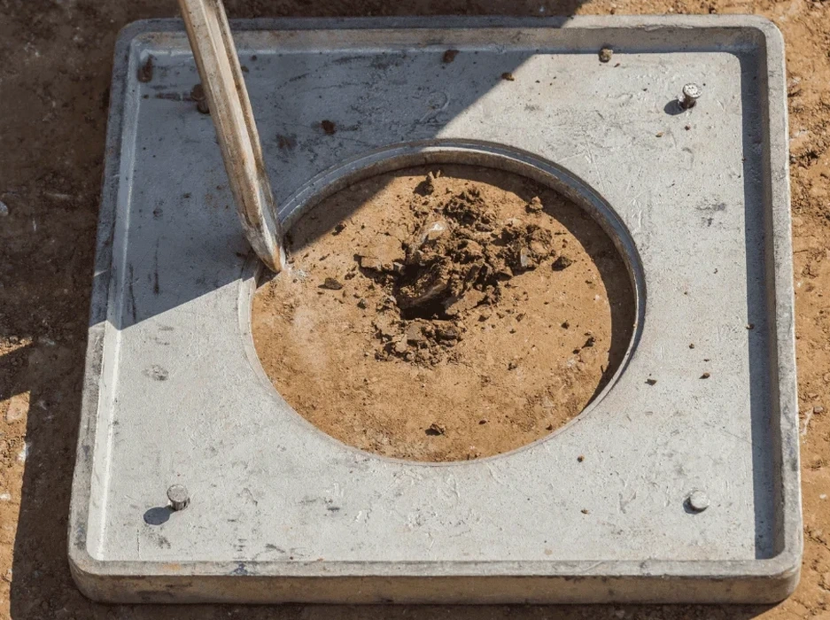
Projects that typically require detailed seismic analysis range from new subdivisions and commercial developments to upgrades of existing infrastructure and assessment of lifeline routes. High-value tourism facilities, hospitals, and emergency response centers demand performance-based designs that go beyond minimum code requirements. For developments on the lakefront or in areas with high water tables, specialized evaluations become crucial; a soil liquefaction analysis is often the centerpiece of the seismic assessment, determining the risk of soil strength loss and foundation failure during prolonged shaking. Similarly, slope stability under seismic loading is a key concern for hillside constructions overlooking the city.
Questions and answers
Why is seismic hazard assessment different in Rotorua compared to other parts of New Zealand?
Rotorua sits within the highly active Taupo Volcanic Zone, characterized by frequent shallow earthquakes, volcanic activity, and unique geological conditions. Soft lake sediments and geothermal alteration can significantly amplify ground shaking and increase liquefaction potential. This combination of high seismicity and complex local soil behavior requires site-specific investigations that go beyond standard regional hazard models used in more stable areas.
What New Zealand standards govern seismic design and how do they apply to Rotorua projects?
The primary standard is NZS 1170.5:2004, which defines seismic actions for structural design. It requires determining a site subsoil class based on geotechnical data to calculate appropriate design spectra. In Rotorua, the presence of deep soft soils often results in a Class D or E classification, leading to higher design forces than would be assumed for rock sites, directly impacting foundation and structural costs.
When is a site-specific seismic study required instead of using standard code provisions?
A site-specific study is mandatory for major structures, buildings on poor ground, or when a project seeks to optimize designs beyond conservative code assumptions. It is essential when near-fault effects, basin resonance, or complex soil layering are anticipated. In Rotorua, any significant development on the lakefront or in known liquefaction-prone zones will require detailed analysis to satisfy council consenting and ensure long-term performance.
What are the main secondary earthquake hazards that concern engineers in the Rotorua area?
Beyond ground shaking, the primary secondary hazards are soil liquefaction, lateral spreading along the lake margins, and slope instability on the caldera rim. Liquefaction can cause severe foundation settlement and tilt, while lateral spreading can rupture buried utilities and damage waterfront structures. Geothermal activity also introduces risks of ground subsidence and altered soil properties that must be factored into any robust seismic assessment.